

Drone & Aerial Photography in Greenville, SC
Editorial-grade aerial stills for architecture, construction, hospitality and industrial clients — flown by an FAA Part 107 certified remote pilot carrying $1M/$2M liability insurance. The same lighting, color and retouching standards as the ground coverage, from 100 to 400 feet up.
Rated 5.0 on Google · FAA Part 107 certified · Insured $1M/$2M
In short: Jack Robert Photo provides FAA Part 107 certified drone and aerial photography for businesses in Greenville, SC and across the Southeast — architecture and development aerials, construction progress, hospitality and resort grounds, industrial facilities, and community and campus imagery. The studio carries $1M/$2M liability insurance, handles FAA airspace authorization, and delivers edited galleries within one to two weeks. Aerial work is quoted per project and most often folds into an architecture or construction scope.
Licensed, insured and editorial — not a hobbyist with a drone
Any drone used for business purposes in the United States must be flown by an FAA-certified Part 107 remote pilot. That is not a formality: if an uncertified operator shoots your property for marketing, the legal exposure lands on your company as well as the pilot — and images shot illegally are a liability sitting in your marketing library. Jack Robert Photo flies under a current FAA Part 107 Remote Pilot Certificate, carries $1M/$2M general liability insurance, and obtains FAA airspace authorization wherever a flight zone requires it, including the controlled airspace around downtown Greenville and GSP.
The second difference is the standard of the images themselves. Most drone operators deliver what the drone captured. Here, aerials are composed, corrected and retouched to the same editorial standard as the commercial architecture work — straightened verticals, true color, clean skies and files that hold up in print, on a leasing site or in a proposal to a national brand.
Aerial coverage built for how businesses use it
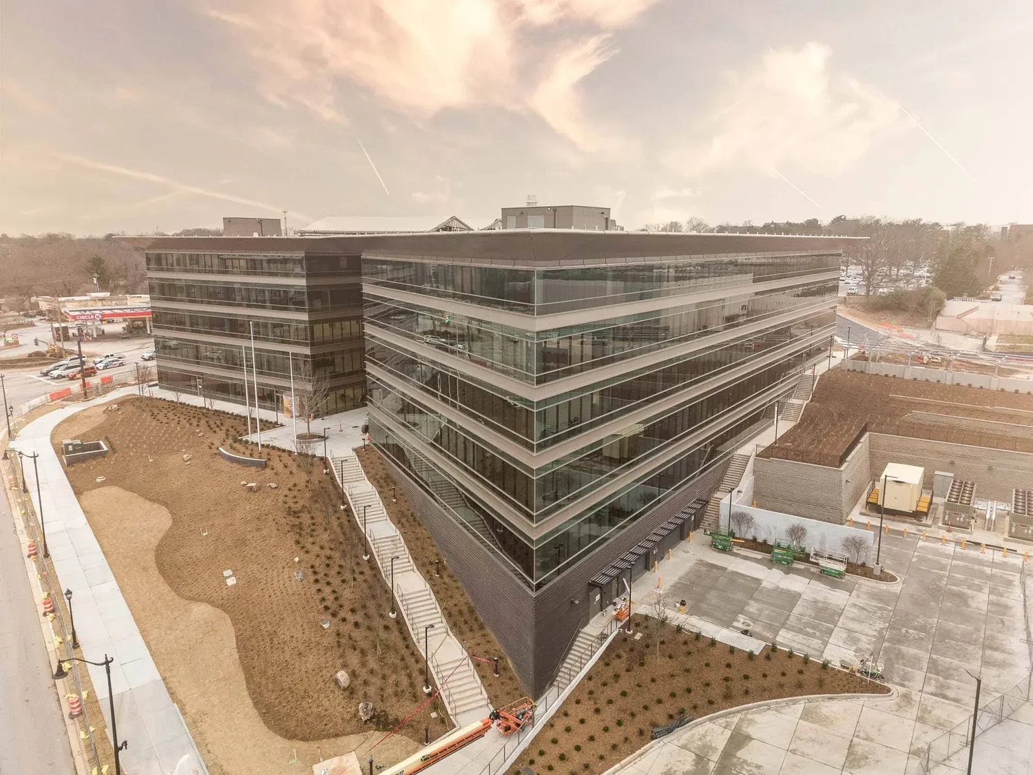
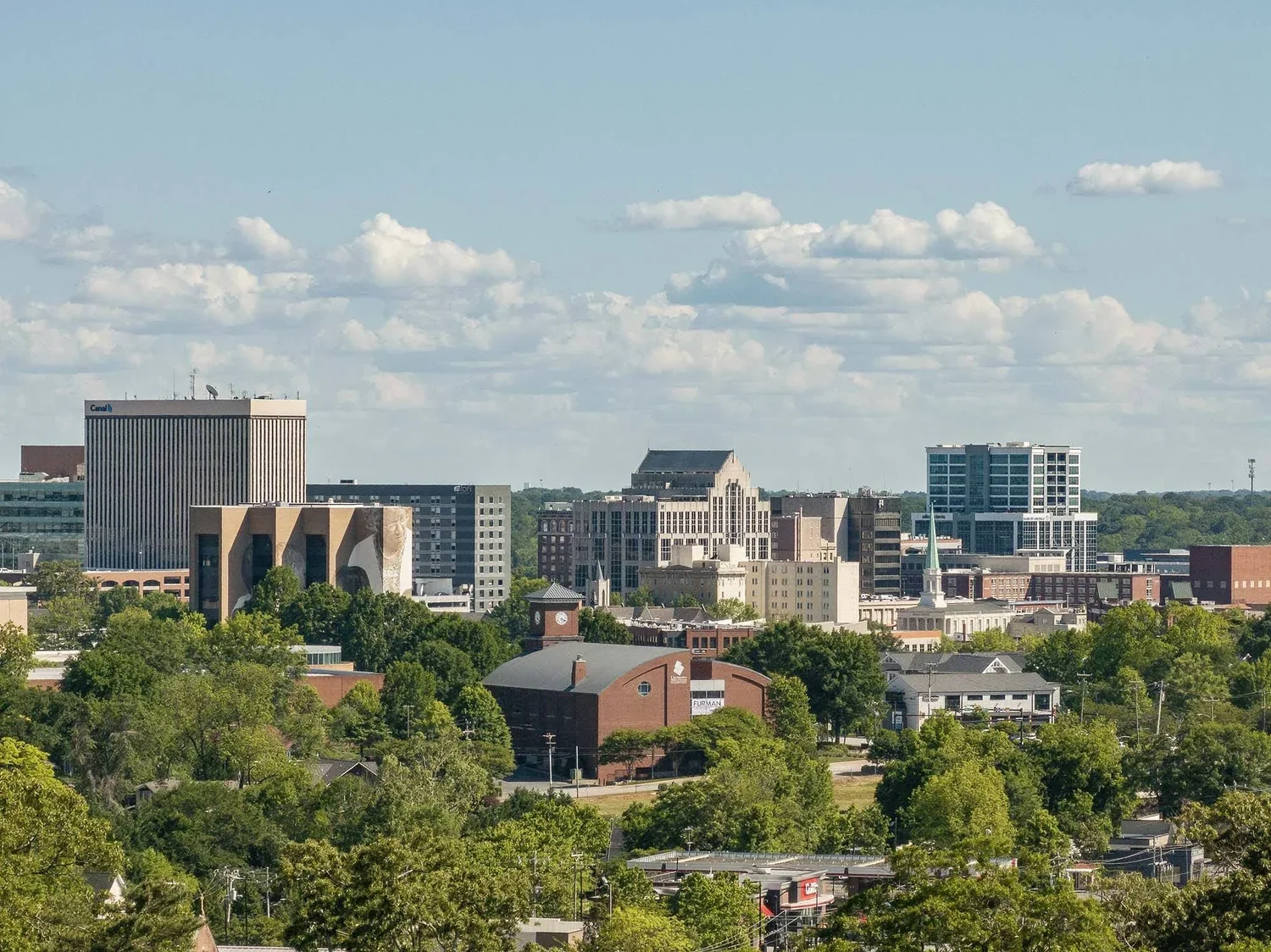
Architecture in Context
Buildings shown in their setting — siting, access, landscaping and skyline context that ground-level photography cannot describe. A standard companion to architectural photography scopes.
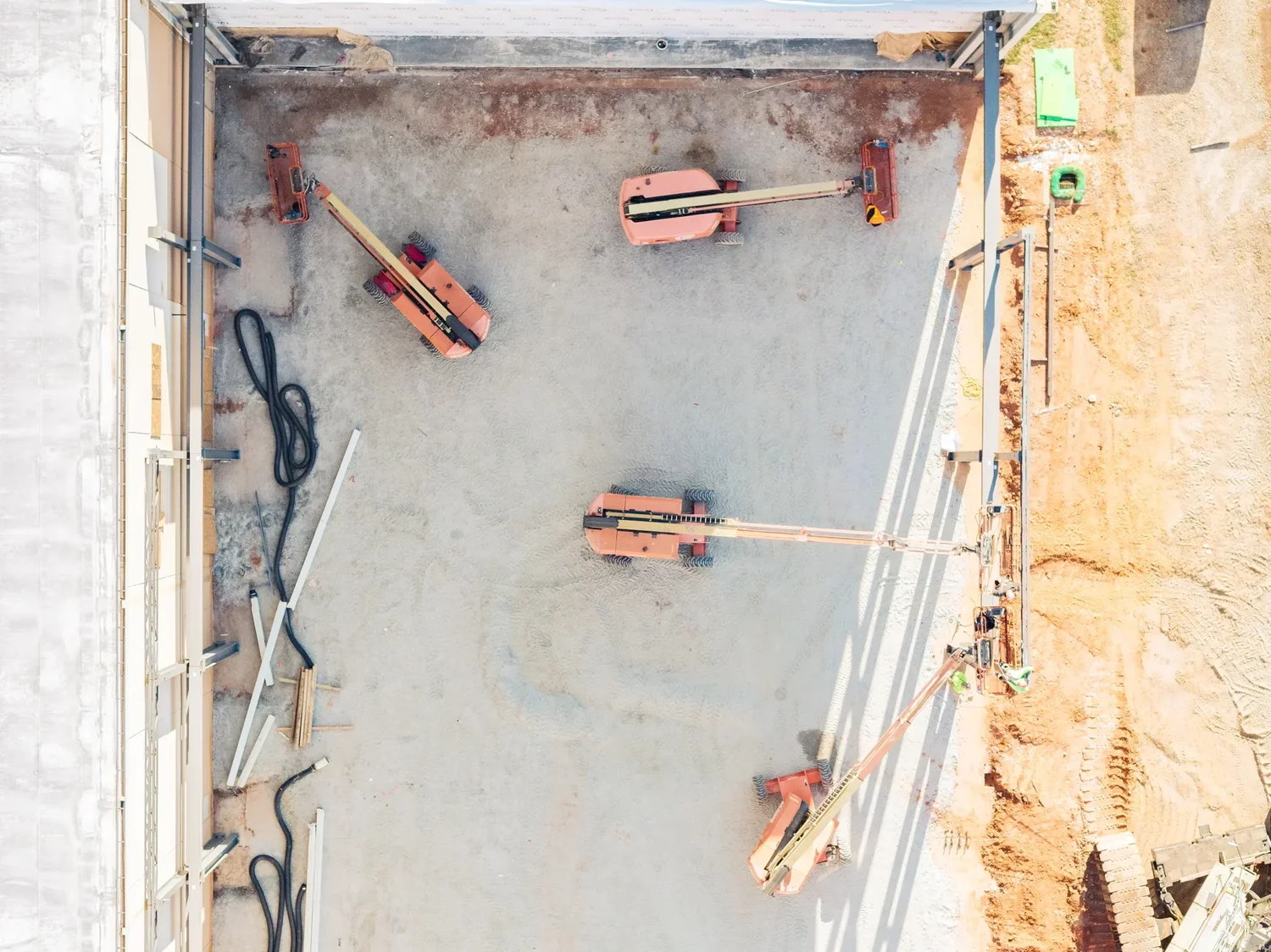
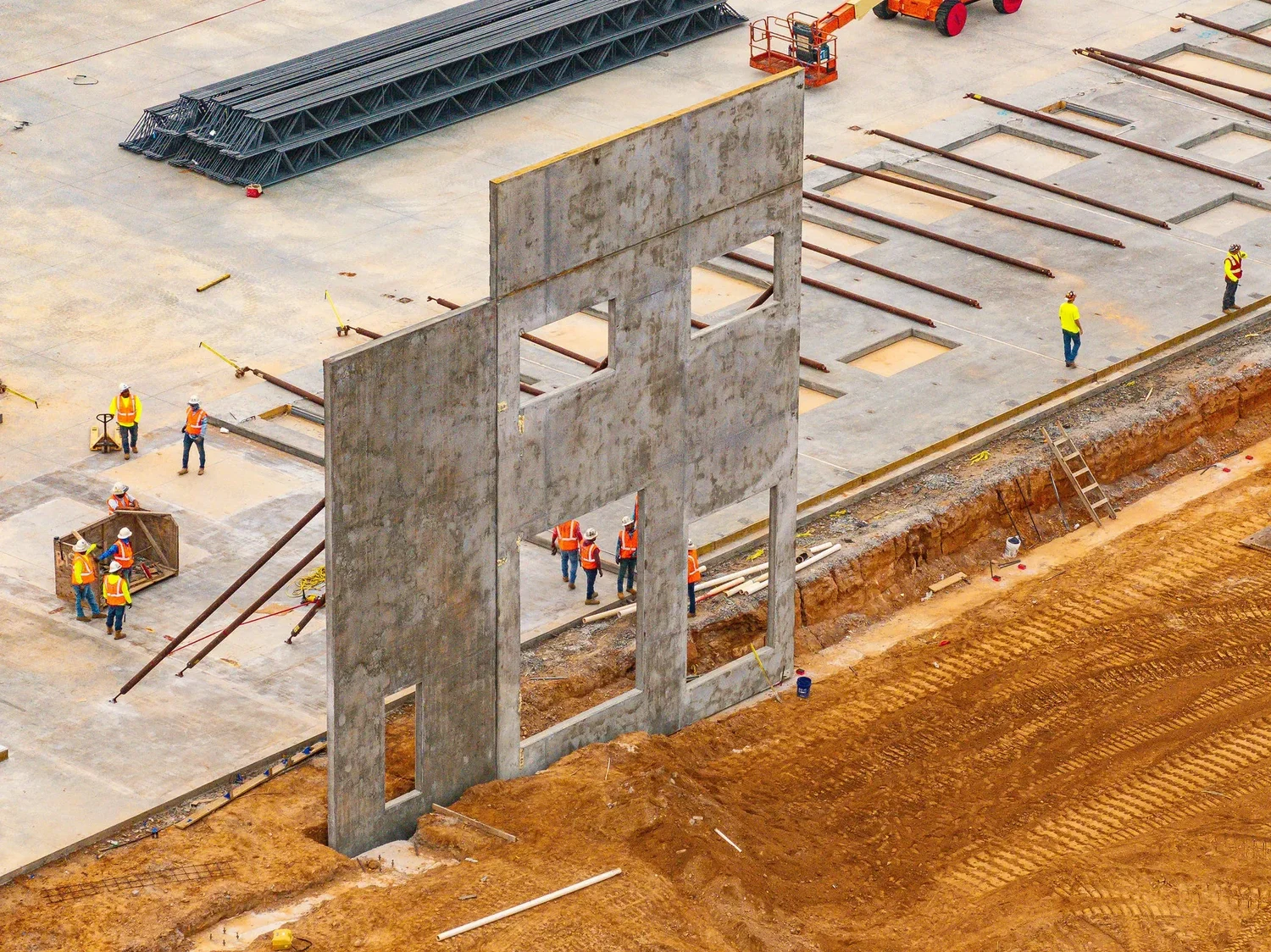
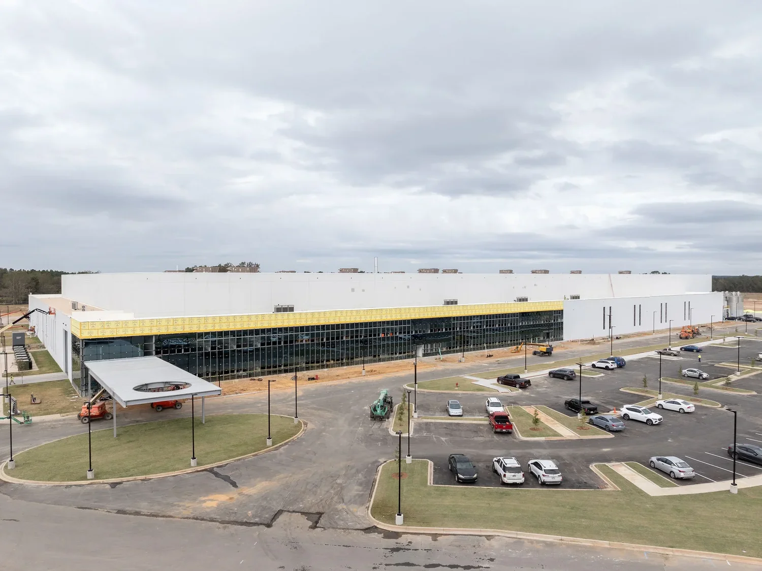
Construction Progress
Scheduled aerial documentation of active sites — monthly or milestone-based — for owners, GCs and lenders. Pairs with construction photography for a complete record.
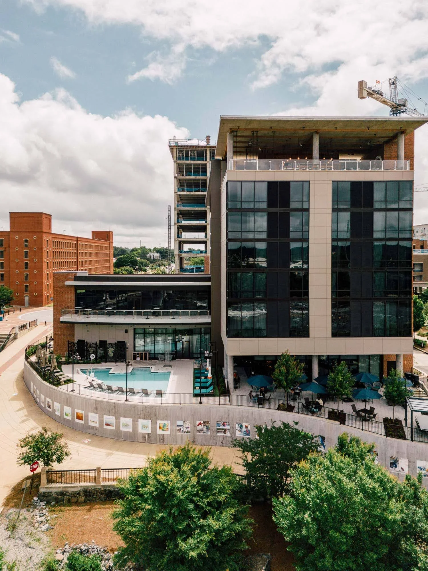
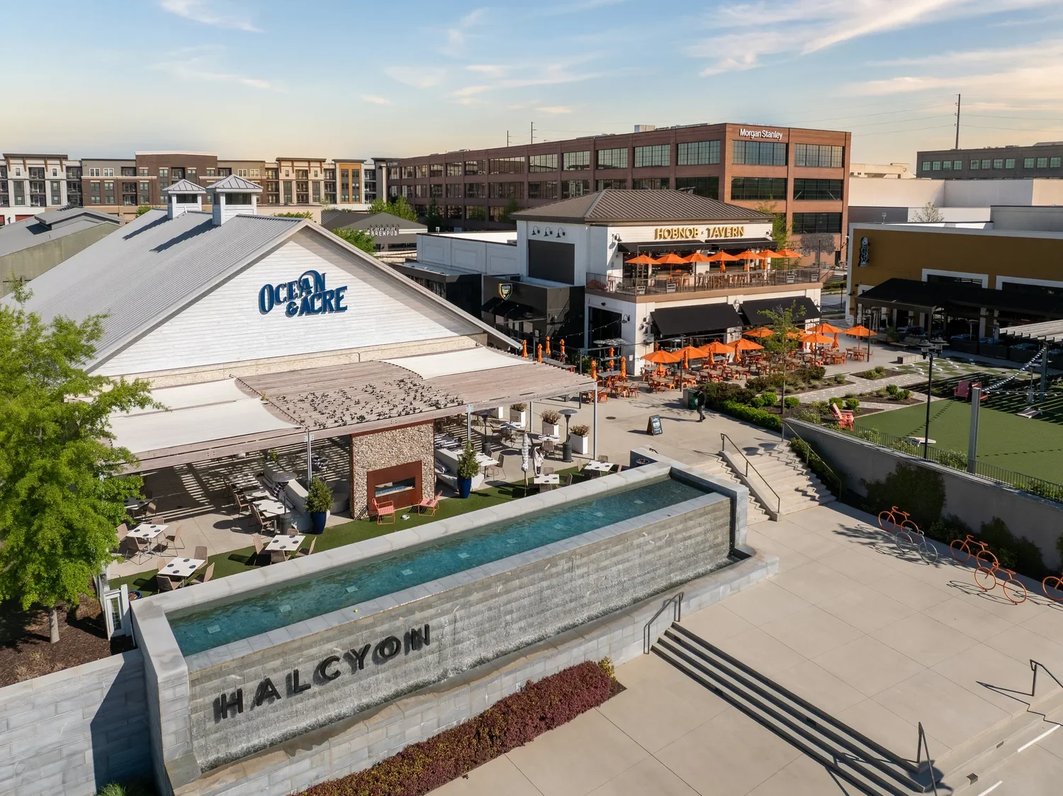
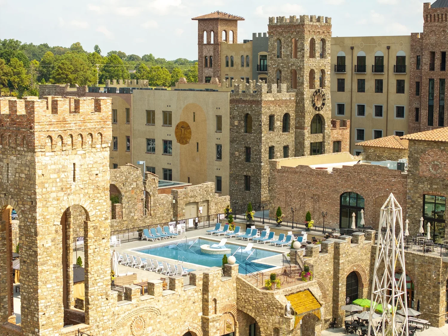
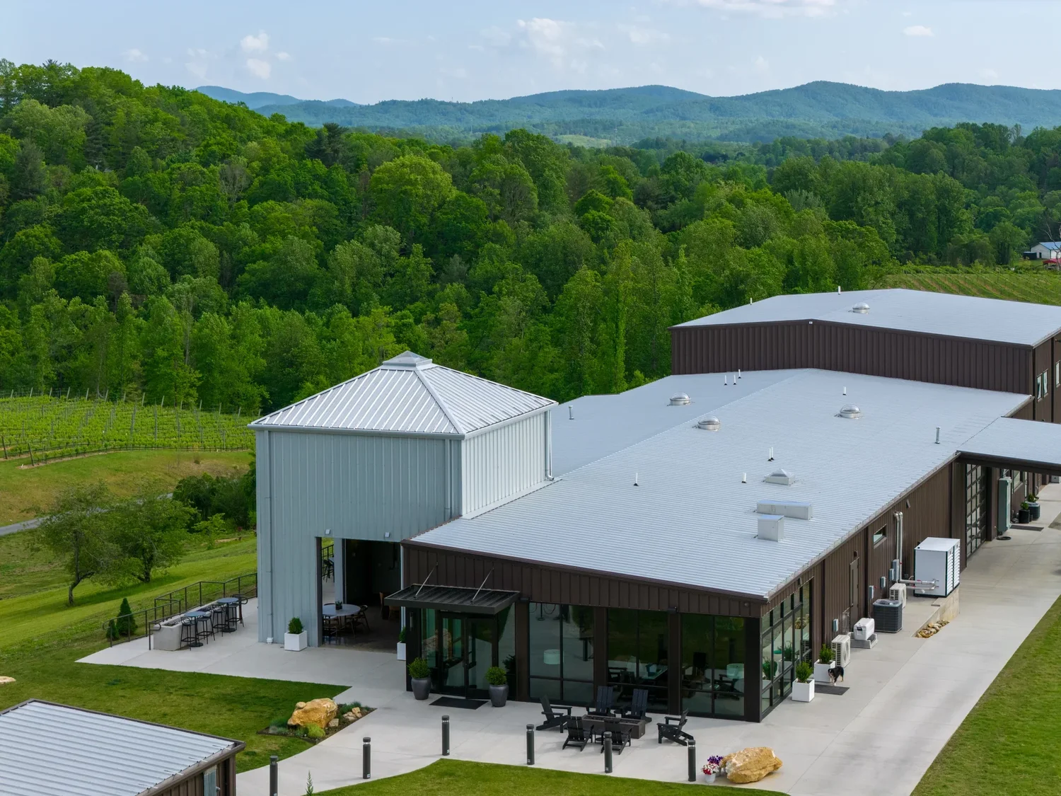
Hospitality & Resort Grounds
Pools, courses, vineyards, grounds and arrival sequences — the overview shot that sells a property before a guest ever sees the lobby. See hospitality work.
Industrial Facilities
Plants, warehouses, laydown yards and logistics infrastructure documented safely from above — PPE-aware, NDA-ready, coordinated with site safety. See industrial work.
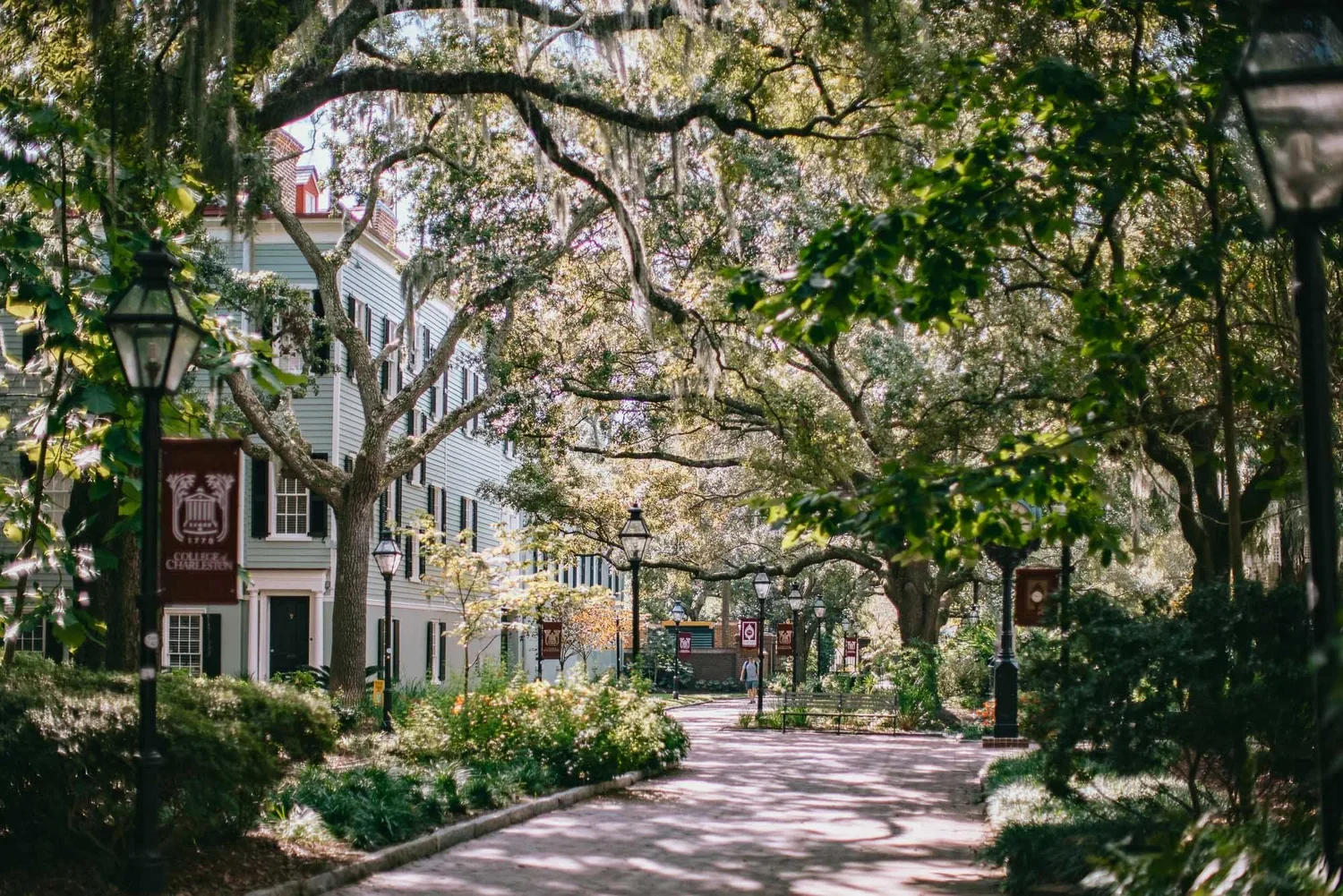
Community & Campus Aerials
Master-planned communities, clubhouses, amenity centers and campuses — the full-property views developers and marketing teams use for sales centers and websites.
Aerials across the Carolinas, Georgia & beyond


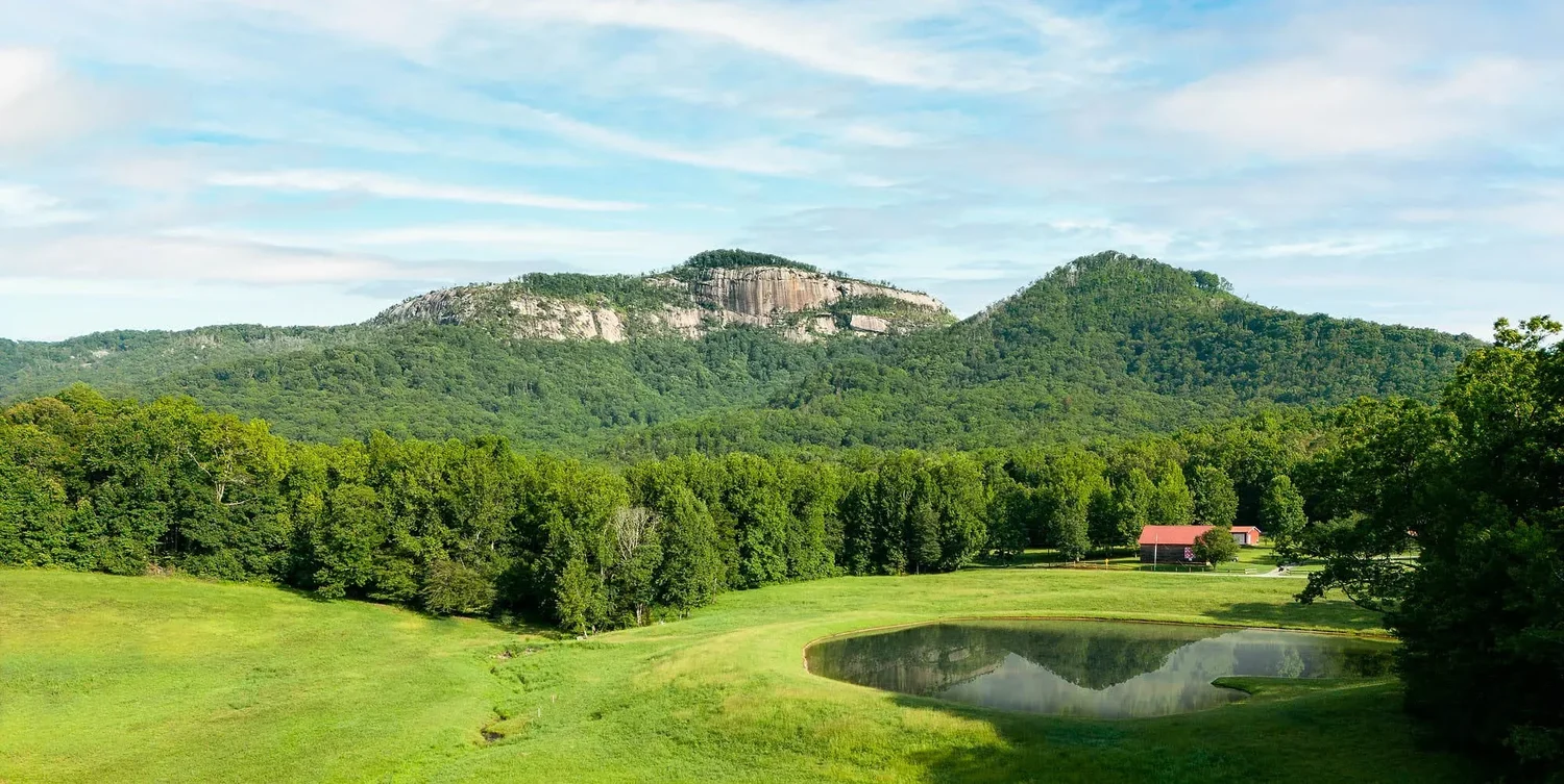
Browse the full archive in the aerial portfolio →
Aerials usually ride along with a larger scope
Most clients don't book a drone — they book a property shoot that includes one. Aerial coverage folds naturally into commercial architecture and construction scopes: the flight happens the same day as the ground coverage, the images are edited to the same standard, and everything delivers in one gallery under one license. That is almost always the most efficient way to buy it.
Drone-only projects — a monthly construction progress flight, a single site overview for a land listing, a campus aerial for a sales center — are also available and quoted per project. Either way, scoping starts with the property address so airspace can be checked before anything is promised.

What you receive
Edited Aerial Stills
High-resolution, fully retouched aerial photographs — corrected color, straightened horizons, clean skies — delivered as full-resolution files plus web-ready versions in an online gallery.
Print & Web Ready
Files sized for large-format print, leasing brochures, websites and social. Multiple crops of hero angles available on request so one flight covers every layout.
Commercial License
Standard commercial licensing for your owned marketing channels, consistent with the architecture licensing terms. Extended paid-media or press use is itemized openly.
Aerial Video
Aerial motion — site flyovers, reveal shots, progress video — is produced through the video side of the studio. See video production for scopes and pricing.
Aerials trusted by builders, developers and brands
Aerial coverage has supported architecture, construction and hospitality work across the Carolinas and Georgia.
Drone & aerial photography FAQ
How much does drone photography cost in Greenville, SC?+
How much does drone photography cost in Greenville, SC?
Aerial work is quoted per project. Most projects fold aerial coverage into a larger commercial architecture or construction scope, where commercial architecture projects start at $3,500, and the aerials are captured the same day as the ground coverage. Drone-only projects, such as a site overview or a recurring progress flight, are scoped from the property address, the shot list and the airspace involved, and quoted before anything is booked.What is FAA Part 107, and why does it matter?+
What is FAA Part 107, and why does it matter?
Part 107 is the FAA regulation that governs commercial drone flight in the United States. Any drone photography used for business purposes must be flown by a pilot holding an FAA Remote Pilot Certificate. Jack Robert Photo holds a current Part 107 certificate, which covers airspace rules, weather, flight restrictions and safe operation, and it is what makes the images legal to use in your marketing.Why does the drone operator's certification and insurance matter to my business?+
Why does the drone operator's certification and insurance matter to my business?
Because the risk does not stay with the pilot. If a business commissions drone images from an uncertified operator, the FAA can pursue the operator, and the business that hired them is exposed as well, both legally and reputationally, and the images themselves are a liability in your marketing library. If an uninsured drone damages property or injures someone on your site, the claim can reach the client. Jack Robert Photo flies certified and carries $1M/$2M general liability insurance, with a COI available on request, so procurement and risk teams can approve the work quickly.Can you fly near downtown Greenville or GSP airport?+
Can you fly near downtown Greenville or GSP airport?
Usually yes, with authorization. Parts of Greenville sit in controlled airspace, including areas near the Greenville Downtown Airport and the zone around GSP, and those areas require FAA authorization before a commercial flight. As a Part 107 pilot, Jack Robert Photo obtains that authorization through the FAA's approval system; in most zones it is granted quickly, and a few require advance planning. Airspace is checked at scoping, from the property address, so any authorization is handled before the shoot date is set and never surprises the timeline.Can I book a drone-only project?+
Can I book a drone-only project?
Yes. Recurring construction progress flights, a site overview for a land listing or leasing package, and campus or community aerials are all bookable as standalone projects, quoted per project. That said, if ground photography is also on your roadmap, combining both in one visit is almost always more efficient than booking them separately.How fast is turnaround?+
How fast is turnaround?
Edited aerial galleries are typically delivered within one to two weeks, and aerials captured as part of a larger architecture or construction scope deliver with the rest of the gallery. Quick-turn delivery is available when a listing, launch or deadline requires it.What happens if the weather doesn't cooperate?+
What happens if the weather doesn't cooperate?
Aerials are weather-dependent, and that is planned for. The forecast is monitored ahead of every flight, and if wind, rain or cloud cover would make the flight unsafe or leave you with images not worth paying for, the aerial portion is rescheduled to the next workable window. When aerials are part of a larger shoot, the ground coverage proceeds as planned and the flight is picked up separately if needed.What resolution and formats do you deliver?+
What resolution and formats do you deliver?
Full-resolution, professionally retouched files suitable for large-format print, plus web-sized versions, delivered through an online gallery. Every aerial gets the same editorial post-production as the ground work: corrected color, straightened horizons and clean, natural skies. Specific formats or crops for a brochure, billboard or website template can be produced on request.Do you shoot aerial video?+
Do you shoot aerial video?
Yes. Aerial video, including site flyovers, reveal shots and construction progress motion, is produced through the studio's video services and is often combined with ground-based filming. See the video production page for how video projects are scoped and priced.Aerials pair naturally with commercial architecture photography →, construction photography →, and commercial video production →. Or browse the aerial portfolio → and the wider architecture services →.
Get an aerial scope quoted within one business day
Send the property address and what the images are for — a listing, a progress record, a campaign. You'll get a scoped quote, an airspace check and available dates within one business day.